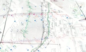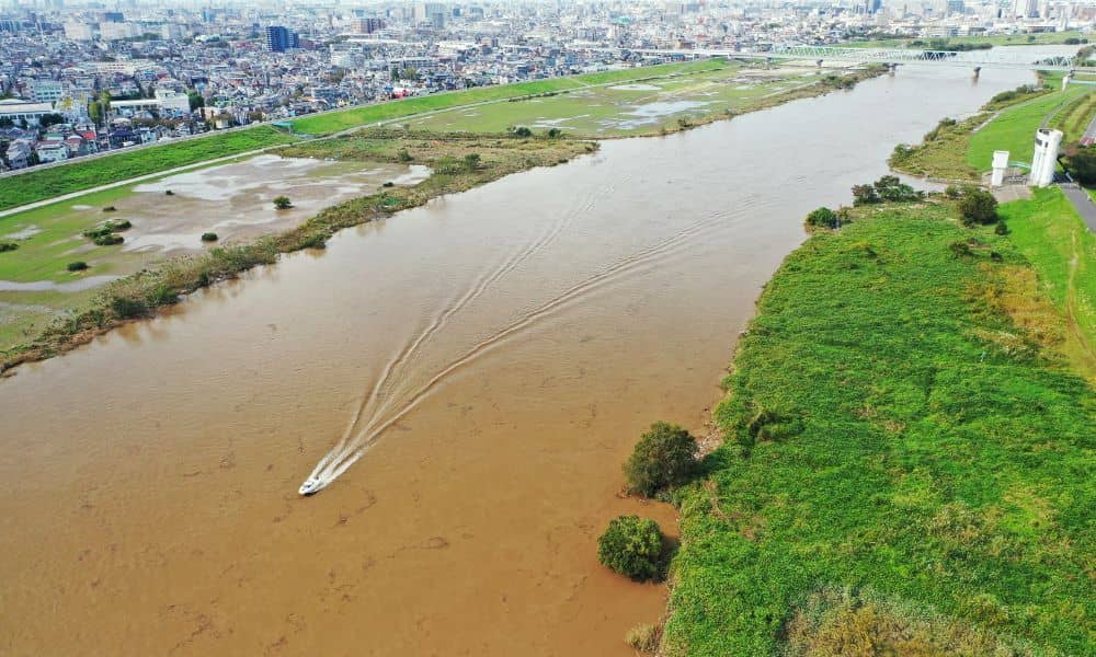
Colorado’s rivers have a way of reminding us who’s really in charge. Just this week, record-breaking floods swept across the Western Slope, forcing hundreds to evacuate in La Plata and Archuleta counties. While Denver didn’t flood, the story still hits close to home. After all, we share the same watershed system—and what happened there could easily happen here. When rivers move, so do boundaries, soil, and the landmarks that define every property line. That’s when an ALTA survey becomes more than a formality—it becomes your proof of where your land truly begins and ends.
When Water Rewrites the Ground
Floods don’t just wash away mud and debris. They reshape the land itself. Streambanks erode. Monuments buried years ago disappear under new sediment. Pins that once marked corners can be pulled from the ground or swept downstream. A fence that seemed solid last spring might now stand several inches—or even feet—inside someone else’s property.
When that happens, the most important thing isn’t guessing where your boundary used to be. It’s verifying where it is now. Surveyors step in after storms to re-establish control points, double-check benchmarks, and redraw maps that match the new reality on the ground. It’s precise work, but it saves property owners from bigger problems later—especially when it’s time to rebuild, refinance, or sell.
How Boundaries Legally Shift
Here’s the part many owners don’t realize: sometimes, nature can legally move a boundary line. Lawyers call it accretion when a river slowly changes course and adds new land to one side while taking some from the other. But when the change is sudden—like a flash flood carving a new channel overnight—it’s called avulsion, and the boundary usually stays where it was before.
It might sound like a small difference, but it matters. If your property borders a creek or drainage area, that line could affect permits, flood insurance, and even who owns the newly exposed ground. An ALTA survey captures these changes, showing what the land looks like after the event and confirming whether your legal boundary still matches reality.
Why an ALTA Survey Matters After Floods
Unlike a simple boundary survey, an ALTA survey digs deeper. It maps everything lenders, insurers, and developers need to see: property limits, easements, access points, and improvements. But after a flood, it becomes even more valuable.
For one, it helps uncover hidden damage. Water can undermine retaining walls, shift foundations, or wash out sections of drainage infrastructure. Those changes might not show up on old plats or GIS maps, but a new survey will catch them.
Second, an ALTA survey gives title companies and lenders confidence. When floodwater moves land or erases old markers, lenders often need new data before they’ll release funds. A post-storm ALTA shows the property’s true limits, ensuring the title description, insurance coverage, and on-site conditions all align.
Finally, it gives owners peace of mind. After the chaos of a major storm, seeing your boundaries clearly defined on a fresh map can be the difference between uncertainty and action.
The Power of Table A After a Storm
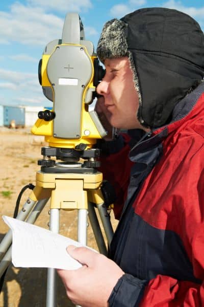
Every ALTA survey follows a national standard, but the optional “Table A” items make it customizable. After extreme weather, a few of these extras become must-haves:
- Table A 18 adds details on wetlands or water features that might have shifted.
- Table A 19 includes off-site easements—critical if flood repairs or access paths crossed onto your property.
- Table A 20 covers zoning and flood data, confirming whether your parcel now falls inside a new FEMA flood zone.
These items tell a complete story, not just where the land ends but how it interacts with water, access roads, and regulations. For any property near Cherry Creek, Sand Creek, or Bear Creek, updating these details after major rain events can prevent expensive surprises later.
Checking Your Elevation Benchmarks
In Denver, elevation is everything. The city’s entire mapping system relies on NAVD 88 benchmarks—official markers that record known heights above sea level. After heavy rain or soil movement, those benchmarks can shift slightly, especially if they were old or unverified.
Surveyors use a benchmark database to recheck vertical control points after storms. It’s a small step, but a crucial one. If your builder or engineer bases plans on the wrong elevation, stormwater systems, foundations, and drainage designs might fail inspection—or worse, flood again.
That’s why every post-storm ALTA survey should verify which benchmark it used. If it ties into an outdated or damaged one, the results could be off by more than a foot. That might not sound like much, but in flood zones, it’s the difference between safety and risk.
Flood Maps and Loan Approvals
After major weather events, FEMA often updates its flood maps. When that happens, lenders and insurers want current elevation and boundary data before renewing or approving coverage. A fresh ALTA survey provides exactly that.
For property owners, this data can also support a Letter of Map Amendment (LOMA) or Letter of Map Revision (LOMR). Those documents can reduce insurance premiums or remove a building from the floodplain altogether—saving thousands each year. But none of that can happen without a survey that clearly shows the ground as it exists today, not as it looked years ago.
When to Call Your Surveyor
You don’t have to live next to a river to be affected by moving water. Even light-grade slopes in suburbs can experience washouts or soil loss that alter property features. If your land borders a drainage channel, retention pond, or natural low point, it’s smart to schedule a new ALTA survey after major storms.
Most surveyors recommend acting before you begin repairs or file any insurance claim involving fences, driveways, or retaining walls. The survey provides the documentation you’ll need later if a neighbor questions the line or if your title company asks for updated information.
A Real Example Close to Home
One Denver contractor recently shared a cautionary story. After a flash storm last year, his crew poured concrete footings near a small creek based on an older survey. A few months later, the city flagged the project—new flood maps showed the creek had shifted, putting part of the foundation inside the floodway. The builder had to tear out and rebuild a section of the wall, costing thousands in materials and weeks in lost time.
Had they ordered an updated ALTA survey first, they would’ve caught the shift early and adjusted the design before construction. It’s a lesson many in the region are now taking seriously.
Certainty After the Storm
Extreme weather doesn’t just damage roads and buildings—it changes how the land itself behaves. For property owners and developers, that means the old lines on your map might no longer tell the truth.
An ALTA survey brings that truth back into focus. It gives you a verified picture of your property, protects you in legal and financial matters, and ensures the ground you stand on matches the one described in your deed.
As Colorado faces stronger storms and unpredictable rain patterns, the smartest move isn’t waiting for the next flood warning—it’s confirming where your land truly lies before you build, sell, or borrow. Because when rivers move, the map changes—and the only way to be certain again is through a survey that keeps up with nature.
