When Do You Need a Civil Engineer for a Drainage Report?
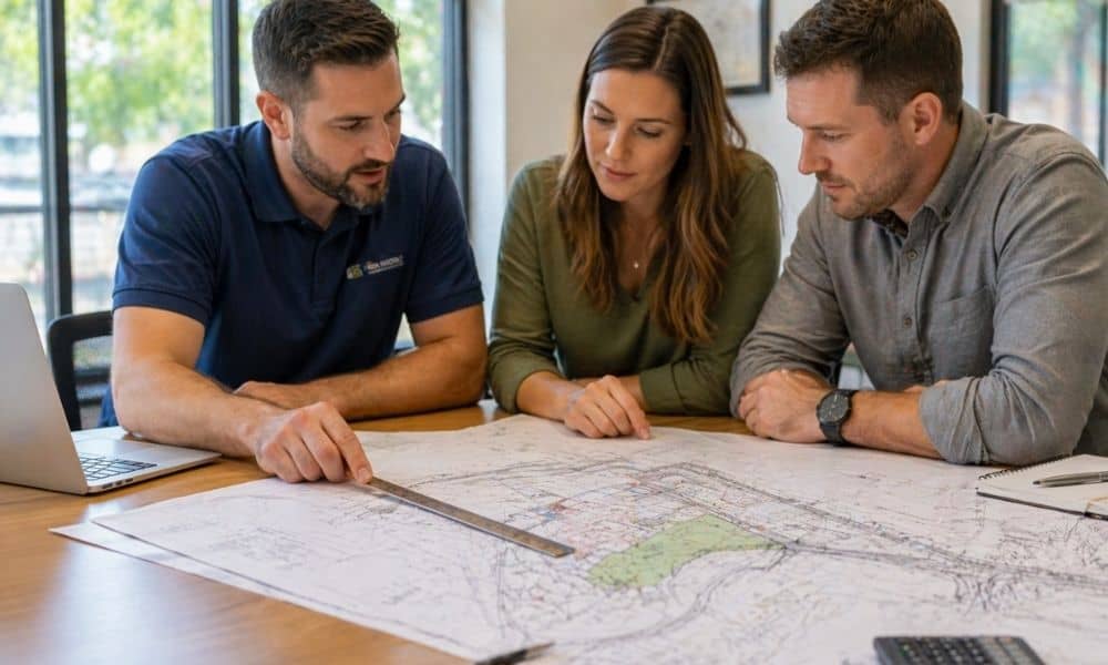
You start a project expecting it to move fast. Plans are ready, and the design looks clean. Then the city reviews your submission and asks for a drainage report. It catches you off guard. Everything slows down, and this is usually when a civil engineer is brought in to help figure things out. Most property […]
How to Use Lidar Mapping Data to Evaluate Sloped Lots
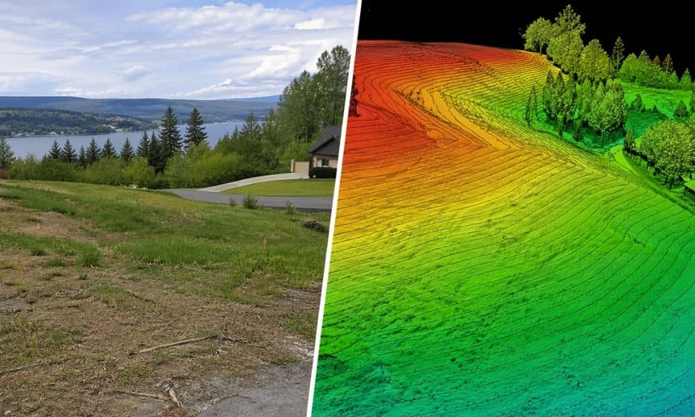
Buying a sloped lot can feel like a smart move at first. The views are better, the space feels open, and the land often looks more private. Still, that same slope can bring problems that don’t show up right away. Many people walk on a property, like what they see, and move forward. Later, they […]
How Old Is Too Old for a Geotechnical Engineering Report?
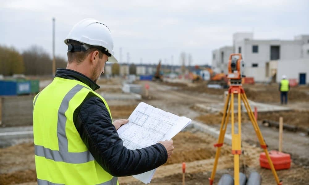
You found an old report. It looks solid. It even shows your property. So you include it with your permit and expect things to move forward. Then the city pushes back. That catches a lot of people off guard. Most assume the report still holds up, but the ground doesn’t stay the same forever. Small […]