How an Engineering Firm Prevents Costly Stormwater Delays
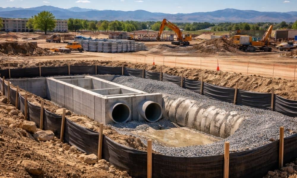
Building in Denver is exciting. The city keeps growing, and new projects move fast. However, before you start construction, one issue can shape your entire project: stormwater compliance. Water does not care about deadlines. It does not care about budgets either. In Denver, sudden storms, snowmelt, and clay soil create real drainage problems. Because of […]
Lot Survey: Is Your Driveway Over the Property Line?
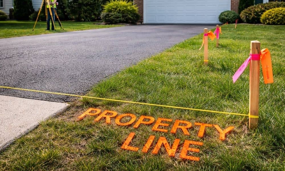
It usually starts with something simple. You plan to replace your driveway. Or maybe you want to build a fence. Then your neighbor walks over and says, “Are you sure that’s your property line?” Suddenly, what felt like a small project turns into panic. This exact situation keeps showing up in online forums and homeowner […]
How to Ensure Survey-Grade Accuracy in Drone Land Surveying
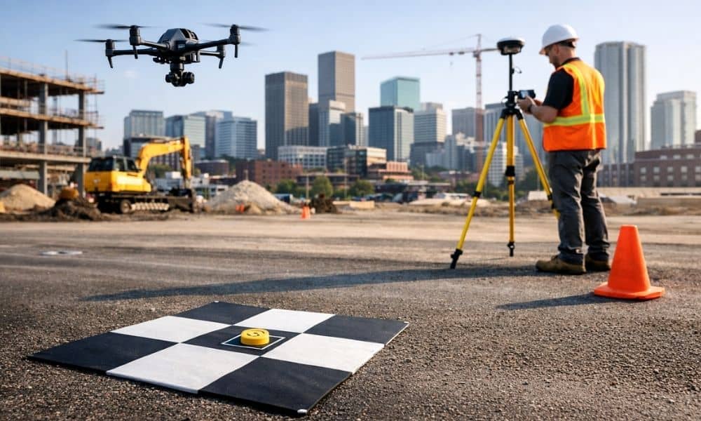
Not every drone map counts as a true survey. In fact, many drone images look sharp and detailed, yet they do not meet the standards engineers need for design. That difference matters, especially in Denver. Here, small elevation changes can affect drainage, foundation design, and even permit approval. Because of that, survey-grade accuracy is not […]