What Does a Topo Survey Show Before Construction Starts?
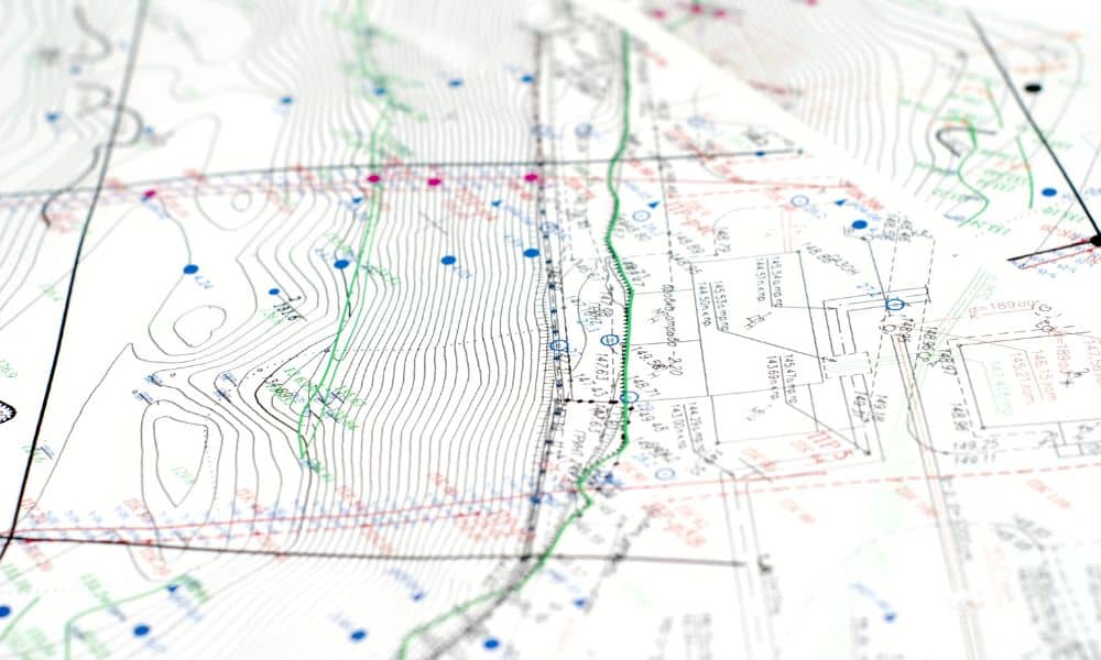
Denver is entering a major period of construction after voters approved a $1 billion bond for roads, drainage, sidewalks, and public buildings. With so much work happening, engineers need correct ground information before anything begins. That’s why a topo survey is the first step for almost every improvement the city has planned. Without clear details […]
Do Office Conversions Need a Traffic Study?

Downtown Denver is changing fast. The city approved a new 20-year plan to revive the area, and one big move stands out: turning empty office buildings into housing. Because of this shift, every developer now needs a fresh traffic study before starting any design work. Many older reports no longer match the city’s new goals, […]
How an ALTA Land Title Survey Stalled a Huge Land Deal
Colorado has been watching a massive land story unfold. A 46,000-acre deal in the La Jara Basin should have moved forward, yet it suddenly hit a wall. The sale involved the Colorado State Land Board and several federal agencies, and everyone expected an easy final approval. Instead, the entire plan stalled. The news surprised the […]