When Public Pushback Changes Transportation Engineering
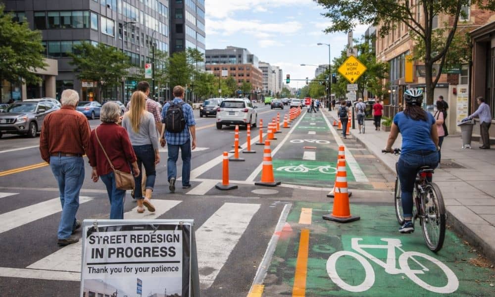
Transportation engineering once happened quietly. Engineers studied traffic. They reviewed safety data. They designed roads using clear numbers. After approval, most projects moved forward with little public attention. That has changed. Today, transportation engineering happens in full view. Residents speak at meetings. Social media spreads concerns fast. City leaders respond quickly. Because of this, even […]
Land Survey for Fence Projects: The Survey Homeowners Need

Building or replacing a fence sounds simple. However, in Denver, a fence can turn into a property dispute faster than most homeowners expect. Older neighborhoods, narrow side yards, shared alleys, and uneven lots make property lines hard to judge by eye. What looks straight and fair today can become a problem tomorrow. That’s why having […]
What a Stadium Reveals About a Land Development Engineer
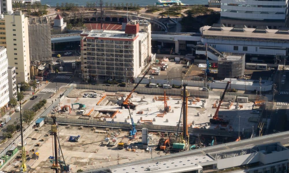
When people hear about Denver’s mixed-use stadium proposal at Burnham Yard, they often think about football games, concerts, and new jobs. However, long before anyone enters the stadium, a land development engineer plays a major role in deciding if the project can move forward. Projects this large depend on early engineering work more than drawings […]