If you’ve owned your property in Denver for a while, you might be wondering: “Is my old boundary survey still valid?” It’s a common and important question for homeowners planning to build, sell, or settle a property line concern.
The answer? It depends.
In some cases, an older boundary survey might still be usable. But in a fast-growing city like Denver, where lot lines shift and neighborhoods evolve, relying on outdated survey data can lead to real issues.
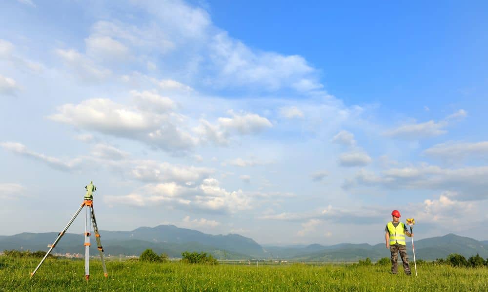
How Long Does a Survey Stay Valid?
There’s no exact expiration date on a boundary survey, but most professionals and title companies consider a survey to be valid for about 5 to 10 years, depending on a few key factors:
- Changes to the property or neighboring lots
- Accuracy of the original survey
- Updates in local regulations or zoning
- Whether markers are still present and correct
Even if nothing seems to have changed, older surveys may not meet current standards or reflect small shifts over time—especially in neighborhoods with frequent development or older infrastructure.
When an Old Boundary Survey Might Be Fine
Not all old surveys are automatically useless. Here are a few times when reusing one might be okay:
- Nothing has changed on the property.
If no new fences, garages, sheds, or landscaping have been added since the last survey, it may still reflect the current layout. - The survey is fairly recent.
Some lenders and title companies accept surveys that are 1–5 years old—depending on how they were done and what the survey covers.
- The survey was done by a licensed Colorado surveyor.
If the document includes a professional seal and was completed according to local standards, it holds more weight. - You’re using it for reference only.
If you’re not submitting plans to the city or using it for legal or financing reasons, an old survey might still help you understand your property.
But even if it looks official, that doesn’t mean it’s still accurate or acceptable for your current needs.
How Old Can a Survey Be?
Technically, a boundary survey can be used no matter its age—but its usefulness depends on the situation. A 10- or 20-year-old survey may still show the general shape of the lot, but it’s unlikely to be accepted by a title company, mortgage lender, or city planning department.
For legal or construction purposes, surveys older than 5–10 years usually raise red flags unless they’ve been updated or confirmed by a new inspection.
When You Probably Need a New Boundary Survey
Here are the most common reasons homeowners choose to get an updated boundary survey in Denver:
- You’re planning to build something
If you’re installing a fence, garage, patio, or shed near your property line, you’ll need to know exactly where that line is. The city may also ask for a current survey as part of the permit process. - You’re buying or selling the property
Real estate transactions often require updated documentation—especially if the last survey is old or unclear. Some title companies won’t move forward without one. - You’re in a dispute with a neighbor
If there’s a question about where a fence, driveway, or tree sits, it’s best to have a current, certified boundary survey to back things up. - The city is asking for it
Denver’s zoning rules are always evolving. For certain permits or improvements, the city may require current survey data—even if you already have an old one on hand. - Your old survey is incomplete
Missing corner markers, unclear measurements, or outdated references (like “old tree stump” instead of GPS coordinates) are all signs your survey may not be up to today’s standards.
What Could Go Wrong With an Outdated Survey
Reusing an old survey can seem like a money-saving shortcut—until it isn’t. Here’s what could happen if the info turns out to be wrong or out of date:
- You could build on the wrong land
Fences, driveways, or sheds could end up on your neighbor’s property without you even knowing it. - You might face legal issues
If a neighbor disputes the boundary, an outdated survey might not hold up in court. - Permits could get denied
The city may require newer, more detailed documents before approving your building plans. - You could lose time and money
Fixing construction mistakes caused by bad info is often more expensive than just getting a new survey in the first place.
What a Modern Boundary Survey Includes
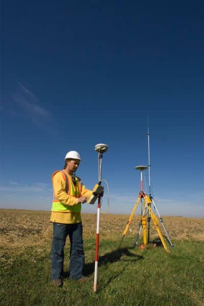
Today’s surveys are more detailed and accurate than ever. Here’s what you get with a new boundary survey:
- A licensed land surveyor reviews property records and your deed.
- Modern tools like GPS and total stations are used to mark exact boundaries.
- Property corners are physically marked with stakes or pins.
- You get a clear, up-to-date drawing that reflects current conditions on the ground.
This kind of document can be used for real estate transactions, building permits, or just giving you peace of mind that your property is clearly defined.
So… Can You Use That Old Survey?
If it was done recently, nothing’s changed on the lot, and it meets the needs of whoever’s asking for it (lender, title company, city), then maybe. But most of the time—especially when money or legal questions are involved—it’s better to play it safe.
Even small errors on paper can lead to big problems on the ground.
Final Thoughts
Your property is one of your biggest investments. Knowing where it starts and ends is more than just a formality—it’s protection.
If you’re not sure whether your old boundary survey is still valid, the best first step is to get a boundary survey reviewed. A local professional can help determine if it still meets today’s standards—or if you’ll need something updated to avoid future issues.
