Land work has always required careful planning, but today the tools are smarter than ever. One of the biggest game changers is land mapping drones. These drones are changing how surveyors, builders, and planners map the ground in Denver and beyond. From fast data collection to safer site inspections, drones make the work more efficient without losing accuracy.
The Shift to Modern Land Mapping
In the past, surveyors used chains, compasses, and later GPS units to measure land. Those methods worked, but they were slow and sometimes missed details in tricky terrain. That’s where land mapping drones come in.
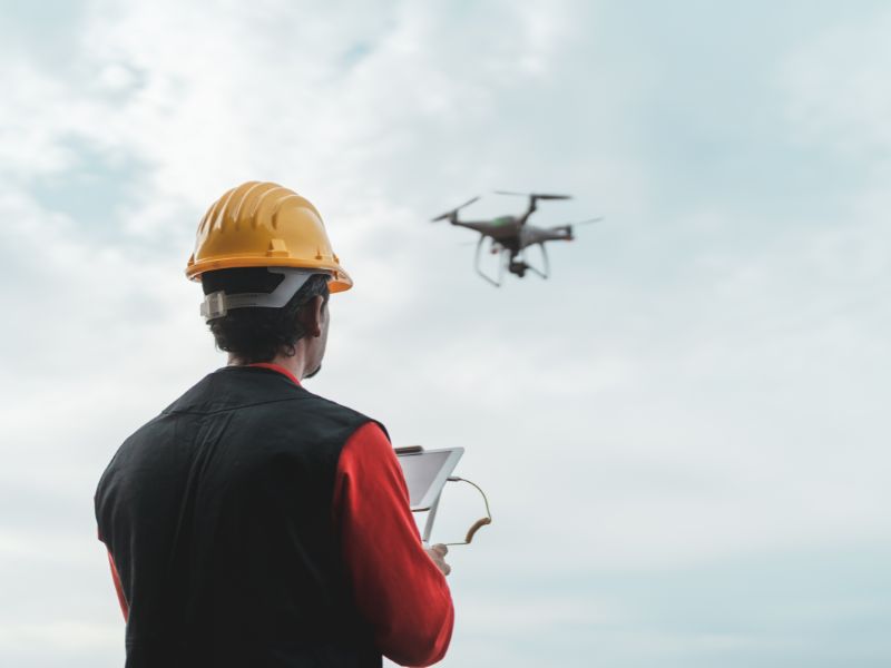
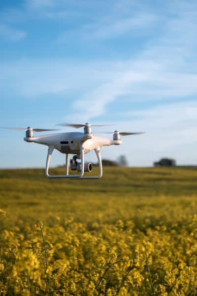
Equipped with high-resolution cameras and sensors, drones fly above the site and collect detailed images in a fraction of the time. In places where land shifts from flat plains to steep hills, like around the Front Range, drones capture ground conditions that are hard to reach on foot.
Why Land Mapping Drones Are Changing the Game
The value of drones in surveying goes beyond speed. They bring several advantages that make them stand out compared to traditional methods.
Faster Surveys
A land survey that once took several days can now be done in just hours. On larger sites across the metro area, drones can cover every angle quickly. This speed helps builders start projects sooner and avoid costly delays.
Accurate Results
Drones capture thousands of overlapping images and turn them into precise 3D models and elevation maps. This accuracy makes a big difference in land surveys, especially in neighborhoods with sloped land where design and drainage depend on exact measurements.
Cost Savings
Less time in the field means lower costs for clients. Developers and property owners save money when surveyors complete land surveys more efficiently. For big projects like subdivisions or business parks, those savings add up quickly.
Safer Work
Some sites are hard or even dangerous to reach—like rocky outcrops or lowlands that flood. Land survey drones allow surveyors to safely gather the data they need without climbing steep terrain or stepping into risky areas.
Real-World Uses for Land Mapping Drones
Drones are not just a fancy tool—they’re practical across many industries.
Construction and Site Planning
Contractors use drone data to plan grading, measure progress, and adjust designs. For example, a developer preparing a new housing site can check elevations before the first foundation is poured.
Agriculture and Land Management
Farmers and ranchers use drones to plan irrigation, map soil health, and track crop growth. The aerial view makes it easier to spot problems and adjust land use.
Flood and Drainage Studies
Cities in Colorado know the risks of sudden storms and flash flooding. Land mapping drones help surveyors model how water moves across a site. That insight is critical for creating drainage plans and meeting local requirements.
Urban Growth and Real Estate
As communities expand, real estate developers rely on accurate surveys to plan new neighborhoods, business centers, and public spaces. Drones provide the detailed maps needed to avoid disputes and support smarter city planning.
How Drones Compare to Old Methods
Traditional surveys rely on ground crews who collect points one by one. While accurate, this method can be slow and costly for big areas. Land mapping drones, on the other hand, cover entire sites quickly and create continuous surface models.
For example, surveying a 50-acre property might take several days with a crew. With drones, that same lot can be mapped in less than a day, often with more detail. This comparison shows why many surveyors now use drones as their go-to tool.
What to Keep in Mind
Although drones make land mapping easier, there are still some things to consider.
- Rules and Regulations: Drone pilots must follow FAA guidelines, and extra care is needed near airports.
- Weather: Strong winds or heavy snow can affect flights, which means timing is important.
- Skilled Operators: Collecting the data is only half the job—processing it into useful maps requires trained professionals.
When handled correctly, these challenges are easy to manage, especially with an experienced surveying team.
The Future of Land Mapping Drones
The role of drones in surveying will only grow. Soon, artificial intelligence will help drones analyze terrain in real time. Builders might receive instant updates on grading, drainage, and construction progress. In fast-growing suburbs around Denver and across the country, these tools will be essential for keeping up with demand.
Conclusion:
From construction sites to flood studies, land mapping drones are making surveys faster, safer, and more reliable. In Denver’s mix of flatlands and rugged hills, drones provide the detail needed to build smarter and plan better.
If you’re starting a project that depends on accurate land data, consider working with a surveyor who uses drones. The results will give you confidence in your plans while saving time and money along the way.
