Technology is changing how we see the ground beneath our feet. Last Week, NASA released the first radar images from its new NISAR satellite. The results were impressive. This satellite can detect ground movements as small as a few millimeters, giving scientists a powerful way to monitor slopes, rivers, and cities. For Denver, where fast growth meets challenging terrain, this is big news. The combination of NASA’s space data and drone surveying on the ground could transform how builders, developers, and property owners spot risks before they become expensive problems.
A New Eye in the Sky
NISAR, short for NASA-ISRO Synthetic Aperture Radar, is no ordinary satellite. It uses “repeat-pass radar,” which means it scans the same areas of Earth again and again. By comparing those scans, scientists can detect even the tiniest shifts in the land. Imagine seeing the early signs of a landslide, the subtle settling of soil under a highway, or erosion after a flood—all before people on the ground notice.
For a fast-growing metro like Denver, this is a breakthrough. Construction projects are pushing into areas with steep hills, flood-prone creeks, and unstable soils. Early warnings from satellites could make the difference between a safe build and a costly delay. However, satellites only give us the big picture. They can raise red flags, but they cannot tell a builder exactly what is happening on one property or construction site. That is where drone surveying steps in.
Why Denver Needs Both Satellites and Drones
Denver is unique because it sits between two worlds: the high plains to the east and the Rocky Mountain foothills to the west. On one side, there are creeks like Cherry Creek and the South Platte River, which can overflow during sudden summer storms. On the other hand, there are steep slopes and rocky ridges near I-70 and the Hogback that can shift after heavy rain or snowmelt. Add in older industrial areas now being redeveloped, and you get a city with many land risks.
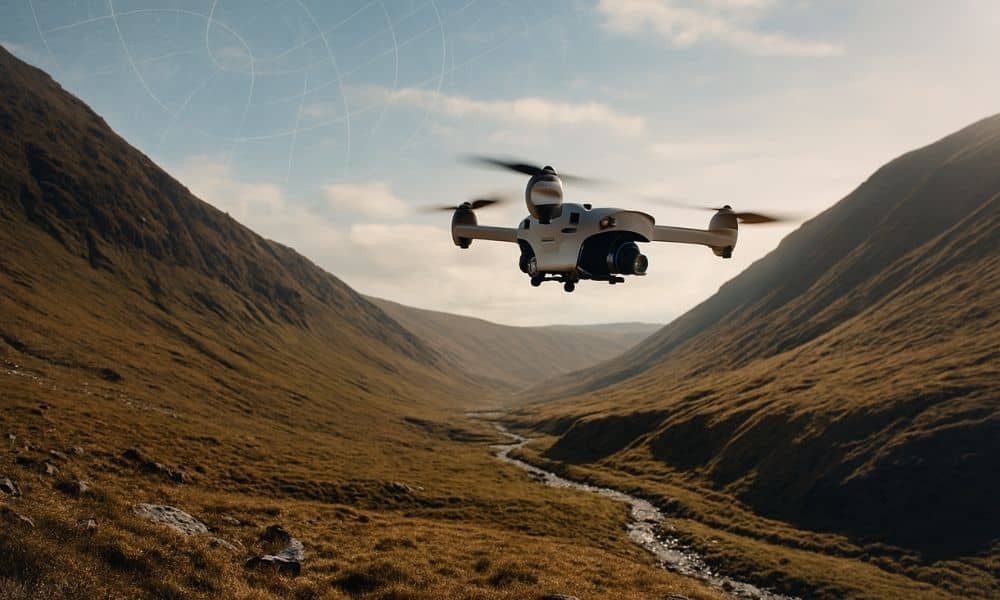
Satellites like NISAR can scan across these regions, showing where the ground is moving. Yet once the radar shows unusual activity, drones provide the detailed look that builders, surveyors, and lenders need to make decisions. Together, the two technologies form a layered system: the satellite is the scout, and drones are the inspectors.
Turning Red Flags into Real Answers
To see how this works in practice, let’s look at a few examples close to home.
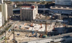
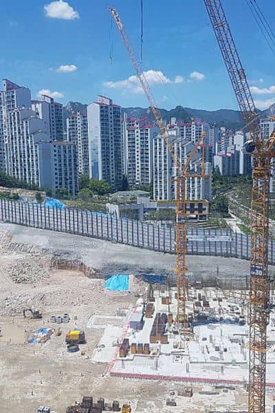
Redevelopment of Industrial Sites: Old industrial areas and utility corridors often face soil settlement. Radar data might reveal long-term ground sinking in these zones. A drone survey can then provide the site-level elevation data developers need to prepare foundations and avoid costly ground failures.
Slope Stability Along I-70: Rockslides and slope creep are a constant concern along I-70. If NISAR picks up ground movement near the highway, a surveyor can launch a drone to capture detailed images. The drone’s 3D models show cracks, erosion, or shifting soil. Engineers can then act before a dangerous slide blocks the road.
Post-Flood Checks in Urban Creeks: Denver’s summer storms can turn quiet creeks into flood zones. After such an event, satellites may detect shifts in the terrain. Drones follow up with close-up mapping of creek banks, culverts, and low-lying areas. This helps confirm whether FEMA flood maps are still accurate and whether new flood elevation certificates are needed.
From Space to Site: A Practical Workflow
The real power of satellites and drones lies in how they work together. First, satellites deliver broad scans and highlight areas of concern. Next, surveyors use drones to gather site-specific information. Finally, the data flows into the planning and design process. For example:
- A radar scan shows slope movement near a new housing site.
- A drone survey confirms cracks and water channels on the hillside.
- The survey team integrates this data into reports for engineers and lenders.
This workflow reduces surprises. Developers do not waste money fixing mistakes after construction has started. Lenders avoid delays during closing. Homeowners gain confidence that their property has been checked from every angle.
Why This Matters for Clients
For clients, the bottom line is simple: less risk and more confidence. Construction delays and design changes cost money. A foundation poured on unstable ground can set a project back by months. With the combined power of satellites and drone surveying, risks are spotted early and managed before they snowball.
There are also financial benefits. Lenders funding new subdivisions want proof that lots are stable and not prone to flooding. Builders want to avoid lawsuits or insurance claims from damaged homes. Property buyers want assurance that their investment is sound. When surveyors combine satellite alerts with drone data, they give everyone peace of mind.
The Bigger Picture: Smarter Growth for Denver
Denver’s growth shows no signs of slowing down. New neighborhoods, business centers, and infrastructure projects continue to spread across the metro. At the same time, climate change adds uncertainty: heavier rains, hotter summers, and shifting soils. Growth in this environment demands smarter tools.
Satellites like NISAR provide the regional perspective, while drones bring clarity to individual sites. Together, they help planners avoid unstable land, protect waterways, and design projects that fit the terrain. This approach supports not just faster growth, but safer and more sustainable growth.
The Human Side of Technology
It is easy to focus only on the tech side, but at its heart, this is about people. Denver families want safe homes. Workers want jobs that are not disrupted by constant delays. Communities want infrastructure that holds up under stress. By using satellites and drones together, surveyors help make these goals possible.
This human side is also what makes the technology relatable. Instead of being abstract, it becomes about whether a family can move into their new home on time, whether a business park opens as scheduled, or whether a highway remains safe after storms. Every data point translates into a decision that affects real lives.
Conclusion: Satellites See, Drones Confirm
The future of Denver’s growth may be shaped both from space and from the skies just above our heads. Satellites like NISAR give us sweeping radar scans, showing where the ground may be shifting. Drone surveying then turns those broad alerts into detailed answers for builders, lenders, and property owners.
If you are planning a project near a slope, a creek, or an old redevelopment site, this is the moment to think beyond traditional surveys. The combination of NASA’s radar insights and local drone surveys can give you a safer, clearer path forward.
