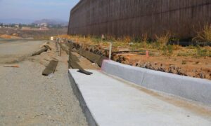
Late last month, Littleton city officials announced that South Broadway would close through spring 2026. The reason wasn’t a new development or a flashy project. Instead, it was to replace a failing culvert and build a safer walkway. Without this work, the road faced the real risk of collapse. This story shows why a construction survey is more than a box to check. It’s the first defense against costly, dangerous failures that can shut down major streets.
Across Denver, drivers know how frustrating road closures can be. But beneath the inconvenience lies an even bigger issue: many of our roads, bridges, and drainage systems are aging. A construction survey ensures those systems are properly mapped, measured, and checked before construction crews begin work. When done right, it prevents disasters like sinkholes, sudden closures, and long-term repair bills.
Why Culverts Fail in the First Place
Culverts are tunnels or large pipes that let water pass under roads. When they fail, the results are dramatic. Roads can crack, sink, or cave in with little warning. The Broadway culvert is being replaced because it was undersized and aging. Over time, debris blocked water flow, soil eroded around the structure, and the roadway above grew unstable.
Failures like these don’t only happen. Viral videos of sinkholes swallowing trucks and buses appear online every few months. They grab attention because they’re shocking—but they also prove how often communities underestimate the importance of surveying before construction or repair projects.
What a Construction Survey Actually Does
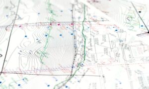
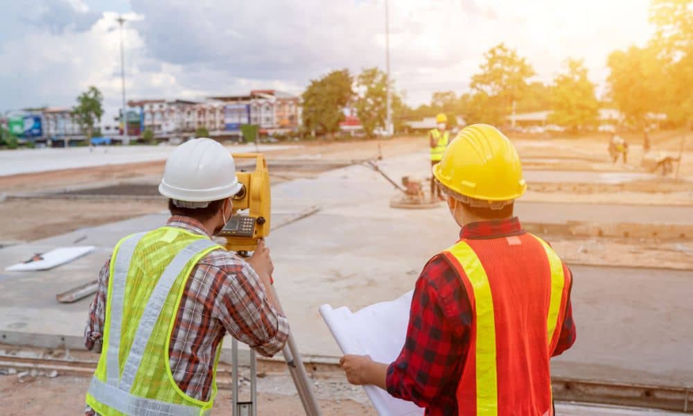
A construction survey is all about accuracy. Surveyors set control points and measure the land so that builders can work with reliable data. For drainage projects, that means:
- Checking elevations to ensure water flows where it should.
- Mapping utilities and pipe connections.
- Recording the slopes needed for proper drainage.
Without these details, a project can go wrong fast. Imagine a culvert installed just a few inches too high. Water would pool instead of flowing, eroding the soil around it. A construction survey prevents mistakes like this by giving builders exact data before they pour concrete or lay pipe.
The Surveyor’s Toolbox
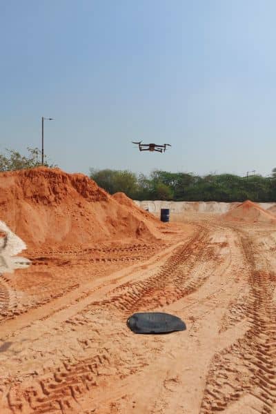
Today’s construction surveyors have more tools than ever. For a project like Broadway, they might use:
- Topographic surveys to map the land’s surface.
- Ground Penetrating Radar (GPR) to detect voids underground.
- CCTV inspections to check inside old culverts.
- Drone LiDAR to scan large areas from above with high precision.
In Denver, the Colorado Department of Transportation (CDOT) already invests heavily in culvert rehabilitation programs. These programs rely on survey data to decide which structures need urgent repair. It’s proof that the right survey methods directly influence public safety.
The True Cost of Skipping Surveys
Some project owners look at surveys as an added cost. In reality, skipping them often leads to much higher bills later. Consider the ripple effects of a culvert collapse:
- Emergency repairs cost far more than planned replacements.
- Property damage and lawsuits can pile up quickly.
- Businesses lose revenue when roads are closed for months.
Even one mistake can stall construction timelines and drain budgets. In the case of Broadway, the city acted before disaster struck. That’s the difference a proper survey makes—it shifts the story from reaction to prevention.
Lessons From Viral Sinkholes
Earlier this week, a video from Mexico City showed a delivery truck disappearing into a sinkhole. Clips like these travel fast online because they’re shocking, but they also highlight something important: many collapses could have been avoided.
Subsurface conditions, such as eroded soil or hidden voids, are invisible to the naked eye. Surveyors use advanced mapping tools to find these weak spots early. When builders listen to that data, projects become safer and longer lasting. It’s not just about protecting roads—it’s about protecting lives.
What Builders Can Take Away
If you’re planning a project —whether it’s a new development, a drainage improvement, or even a roadway expansion—the Broadway closure offers a valuable lesson. Don’t treat surveys as optional. Instead, work with professionals who can:
- Map detailed topography before design.
- Verify elevations and pipe inverts.
- Stake out construction with precision.
- Deliver as-built surveys that confirm the finished product matches the plan.
For builders, these steps are not red tape. They’re the foundation of successful construction. They keep projects on time, on budget, and in compliance with city and state requirements.
Denver’s Future Depends on Smarter Planning
Denver is growing fast, and with growth comes stress on infrastructure. Roads carry more cars. Drainage systems handle heavier storms. The Broadway culvert project is just one example of how fragile that balance can be.
The good news is that construction surveys give the city, developers, and engineers a clear roadmap. They reveal risks before they become emergencies. They also help coordinate with agencies like CDOT and the Department of Transportation and Infrastructure, ensuring projects meet safety standards.
Final Thoughts
The South Broadway closure may frustrate drivers, but it also highlights an essential truth: investing in surveys today prevents road failures tomorrow. A construction survey isn’t just about marking points on a map. It’s about keeping roads safe, reliable, and ready for the future.
So if you’re planning a project near drainage, utilities, or public roads, don’t wait until something goes wrong. Call a surveyor early, ask for a scope that includes drainage and culvert assessments, and make data-driven decisions. It’s the best way to avoid closures, lawsuits, and viral disasters—and to keep moving.
