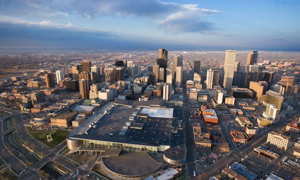
When people talk about city growth and new parks, they usually don’t think about land surveyors. But behind the scenes, boundary surveys play a huge role in shaping cities like Denver. Without them, big land deals—like the one involving the Park Hill Golf Course—would be a legal and logistical mess.
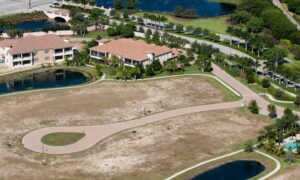
Just this week, the city of Denver made headlines after finalizing a massive land swap. The city traded 145 acres of land near the airport to acquire the 155-acre Park Hill Golf Course. This deal turns the old course into the fourth-largest park. It’s a win for the community, green space, and city planning. But what made this all possible? Clear boundaries.
Why Boundary Surveys Matter (More Than You Think)
At first glance, a boundary survey might sound boring. It’s just measuring land, right? Not quite.
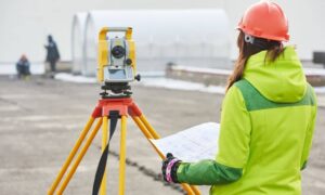
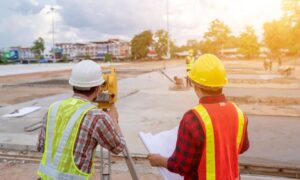
A boundary survey is the process of finding, marking, and officially recording the legal edges of a piece of land. This isn’t something you can guess or “eyeball.” Surveyors use tools, records, maps, and even GPS to figure out exactly where one property ends and another begins.
In big land deals, it’s even more important. When the city trades land with a private company, both sides need to know exactly what they’re getting. That means surveys must be spot-on.
If there’s any confusion about the lines, it can lead to lawsuits, delays, and angry neighbors. Not ideal when millions of dollars and public spaces are involved.
The Park Hill Golf Course Deal: A Real-World Example
Here’s what happened:
- The city wanted to turn the Park Hill Golf Course into a public park.
- The land was owned by a developer, Westside Investment Partners.
- The city traded 145 acres near Denver International Airport in exchange for the golf course land.
- The deal involved $12.7 million and a lot of back-and-forth planning.
To pull that off, city officials and developers had to rely heavily on accurate land surveys—especially boundary surveys.
Why? Because when you’re swapping land, even a small mistake can throw the deal off. If the city accidentally swapped the wrong section, or if the golf course’s boundaries were unclear, the whole project could be delayed—or worse, fall apart.
This example shows that boundary surveys aren’t just for private homeowners or rural land deals. They’re critical to city growth, public parks, and smart development.
How Boundary Surveys Affect Everyday People
Now, you might be thinking: “That’s great for the city, but how does this relate to me?”
Here’s the truth: Whether you’re buying your first home, building a backyard fence, or developing property, boundary surveys matter.
Let’s say you’re buying a house. Your lender may require a loan closing survey—a type of boundary survey—to confirm the property lines. Or maybe your neighbor wants to build a garage and you’re unsure if it’ll cross onto your land. Again, a boundary survey solves that.
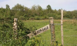
And if you’re a real estate investor or developer? Having a licensed surveyor confirm boundaries protects your investment. You don’t want to start construction and later find out you’re building on someone else’s land.
So while the Park Hill Golf Course project is big news, the same principles apply to properties of any size.
Why Accuracy is Everything
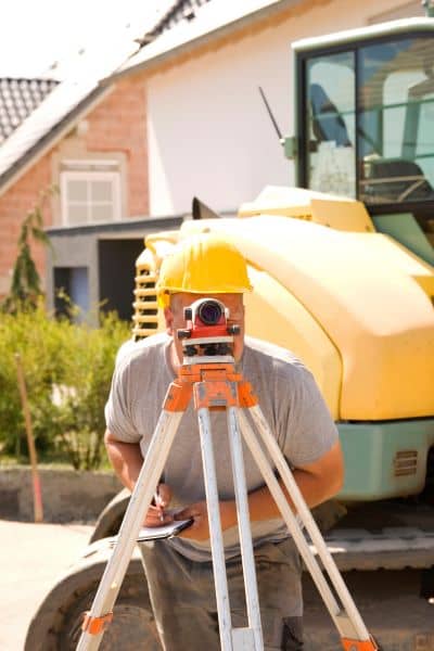
Land doesn’t move, but how we define it can change over time. Old fences, outdated deeds, or bad measurements can create confusion. That’s why hiring a licensed land surveyor is essential.
These professionals know how to:
- Research property records
- Use precise measuring tools
- Identify hidden or missing boundary markers
- Follow local regulations
In fact, Denver has a long history of complicated property lines, especially in older neighborhoods. That’s why clear surveys are crucial before making big moves.
Even in modern subdivisions, it’s smart to get a boundary survey if you’re planning to expand, sell, or make improvements.
The Bigger Picture: Urban Growth and Green Space
Denver is growing fast. With that growth comes more need for smart planning, clear land use, and public spaces that serve everyone.
The Park Hill project is part of a larger trend. Cities across the U.S. are rethinking how to use land. They’re turning old golf courses, rail yards, and industrial areas into parks, housing, and mixed-use spaces. But none of that can happen without understanding what land belongs to whom.
That’s why boundary surveys are at the heart of these transformations.
In many ways, surveyors are the unsung heroes of city development. They make sure projects start on solid legal ground, prevent disputes, and give cities the confidence to invest in bold ideas—like turning a private golf course into a massive public park.
What You Can Do
If you’re involved in any kind of property transaction—buying, selling, building, or inheriting—don’t skip the survey. And not just any survey. Make sure it’s a boundary survey conducted by a licensed land surveyor.
Here’s when you should consider one:
- Before closing on a property
- When building near property lines
- During disputes with neighbors
- For fence or landscaping projects
- Before subdividing land
- When applying for building permits
Yes, it costs money. But skipping it can cost you far more—legal trouble, construction issues, or lost property.
Final Thoughts
The Park Hill Golf Course land swap is more than a headline—it’s a perfect reminder that land is valuable, but only when we know where it begins and ends.
Boundary surveys don’t just draw lines on a map. They protect investments, settle arguments, and help cities grow in smart, sustainable ways.
So next time you hear about a big development—or even plan one of your own—remember the quiet but critical role of the surveyor. Because every great project starts with knowing your boundaries.
