In Denver, getting a site plan approved can be tougher than it looks. Missing details about your land often lead to setbacks and extra costs. A topographic survey gives you the precise information city reviewers require, helping your project move ahead smoothly.
Why Site Plans Get Rejected in Denver
Site plan rejections happen more often than most people realize. Many are caused by issues that could’ve been caught early with better site data.
Here are some common reasons:
- Elevation data is missing or off.
Denver needs accurate information about how your land slopes and drains—especially in hilly or flood-prone areas. - Drainage plans are incomplete.
If the city can’t confirm where stormwater will flow, they may ask for a resubmission. - Slopes are too steep for the proposed structure.
Driveways, walk-out basements, and retaining walls all depend on elevation limits. - Setbacks and grading don’t follow code.
If your design doesn’t account for the shape and slope of your land, it might push into protected zones or neighbor lots.
These are the kinds of problems that slow projects down—and they’re exactly what a topographic survey helps prevent.
How a Topographic Survey Strengthens Your Site Plan
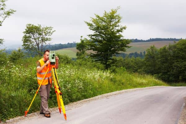
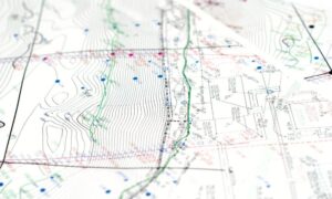
A topographic survey gives your architect or engineer a detailed map of your land’s features. That map becomes the base for your site plan helping your team design smart and stay compliant with city rules.
Here’s how it helps:
- Shows natural slopes, dips, and high points.
These details help with grading, foundation design, and drainage planning. - Identifies how water flows across your lot.
Drainage paths, low points, and high points are key for managing runoff. - Helps place structures in the right spot.
You’ll avoid building on unstable ground or creating stormwater problems. - Reveals problem areas before plans are submitted.
That means fewer surprises—and fewer costly revisions later.
For projects in areas like Berkeley, Harvey Park, or Green Valley Ranch—where terrain varies a lot from lot to lot—this kind of data is critical.
When Denver Requires a Topographic Survey
The city doesn’t ask for a topographic survey in every case—but many projects need one, especially when grading, slopes, or drainage are involved.
You’ll likely need one if you are:
- Building a new home, ADU, or garage
- Planning a large addition that changes the site layout
- Installing a retaining wall or doing significant grading
- Developing a vacant or hillside lot
- Working near drainage easements or stormwater areas
Even if it’s not required, a topographic survey can help avoid red flags during review.
Benefits of Getting the Survey Done Early
Waiting to do a topographic survey until after your first design is done can cost you time and money. Getting it early before your team finalizes the site plan can:
- Speed up site plan approval in Denver
- Reduce design revisions
- Improve cost estimates for grading or excavation
- Help you make better layout decisions
- Minimize the risk of city-required changes
In a city like Denver, where terrain and zoning rules can change block by block, early site planning makes a real difference.
Final Thoughts
If you’re planning a project that requires a site plan, a topographic survey isn’t just helpful—it’s often the key to getting approved without delays.
It gives your design team the real-world data they need to work with the land you have, not just the land they assume you have. And it helps city reviewers quickly see that your plans follow the rules.
Before you submit your site plan, consider taking the extra step to get a topographic survey before building. It’s a smart way to prevent surprises, stay compliant, and keep your project on track. You’ll avoid headaches, stay on schedule, and move one step closer to building with confidence.
