How LiDAR Mapping Is Transforming Land Surveying
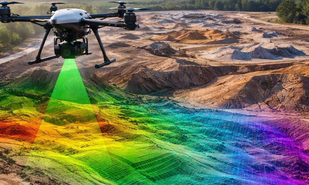
Surveying plays a big role in how cities grow. Before any building, road, or large project starts, teams must study the land. They need clear and reliable site data. Without it, engineers cannot design safely. In recent years, lidar mapping has become an important tool for surveyors. It helps teams collect land data faster than […]